Minnesota Geography
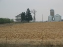
EX: Agriculture

Minnesota Geography
EX: Agriculture

History Land #2
Dirty Jobs Video
Prairie Path Slides
Agriculture Slides
Agricultural Census
Atlas Page 19/80 Slides
Agriculture Activity


Agriculture Exercise:
Buying and Selling Land
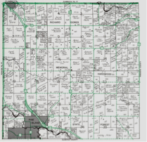
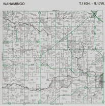
Print one of the Townships Maps below
(Seated Classes Only)
Lecture Slides
Do Not Print
Start at 20 minutes

Video Clip
Sugar Beets
Video
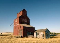
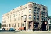
Prairie Castles
Link
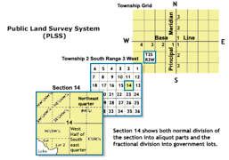
Township and Range System
Video
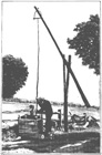
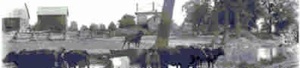
Old Time Farming
Link: USDA Agricultural Census Data
Link:
Air Photos of Minnesota
- Field Patterns
Link
Agriculture Brochure


Link Minnesota River Virtual Tour and Data
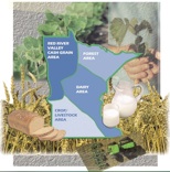
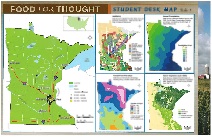
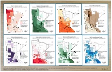
These posters/maps (left and right) are Links for the Minnesota Agricultural Exercise (each is 11x17 inches)
Links Minnesota Agriculture Data
Link
Handy Farm Devices
1909 Book
U-Tube Links
Older Farm Activities/Machinery
Some Still Used on Farms

Link - Click Icon -
Modern Farm Activities/Machinery
39 U-Tube Videos
Instructor Materials
Links: Agriculture Resources
Links: Videos
Student Resources
Do Not Print
Online Class -
Do Not Complete
Township Maps above
(Wanamingo) & (Pine Island)
Do Exercise Below
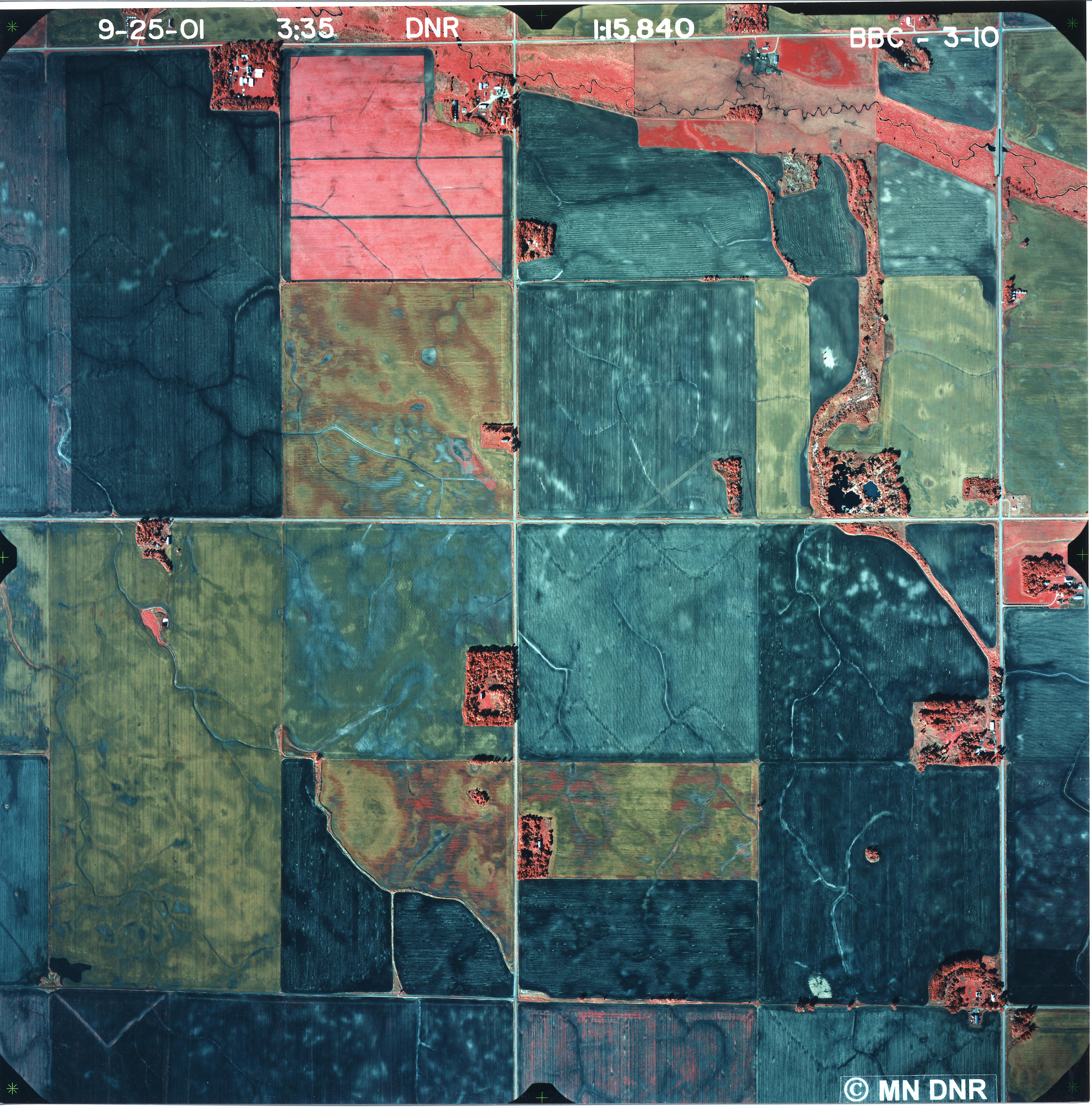
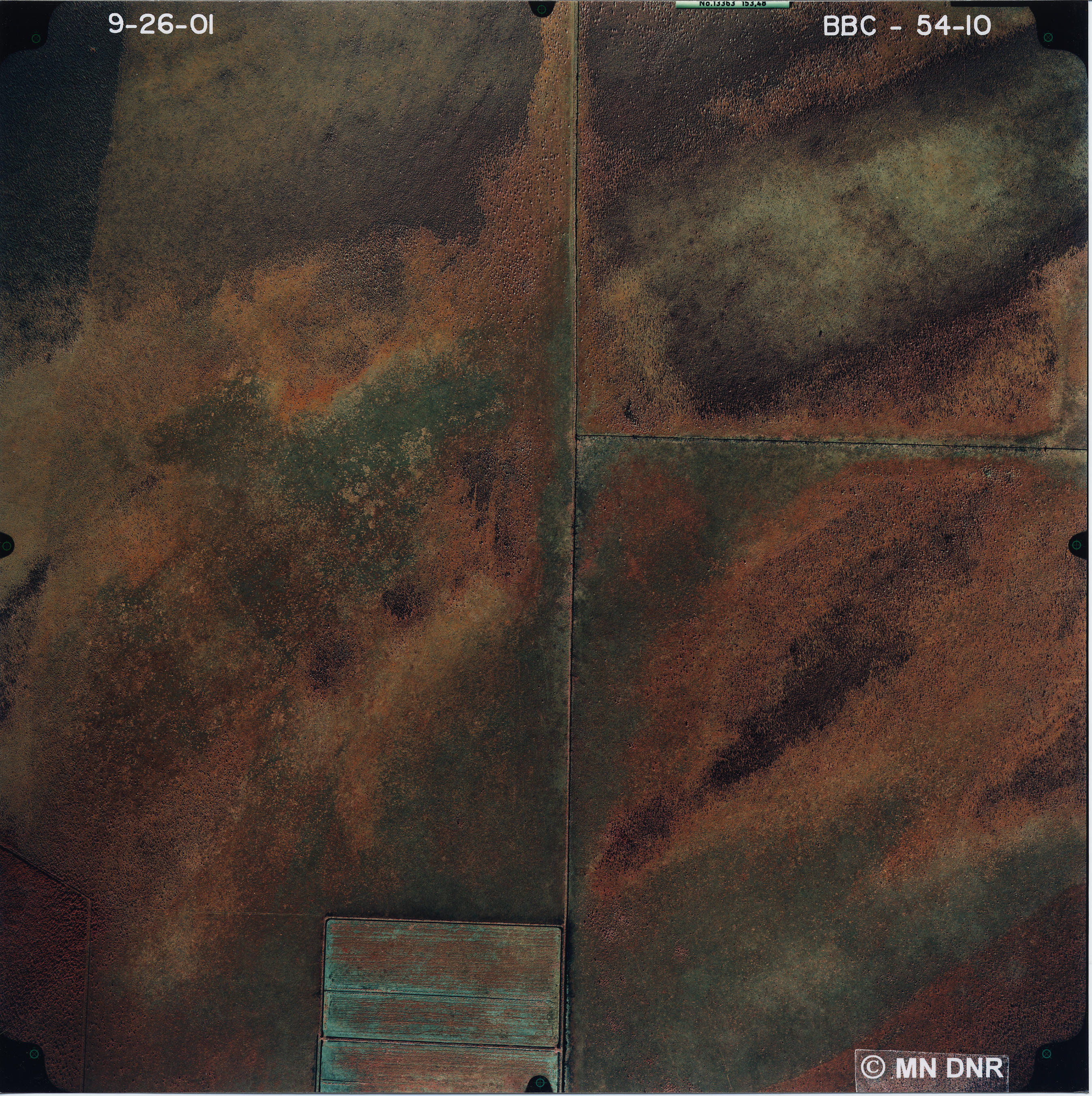
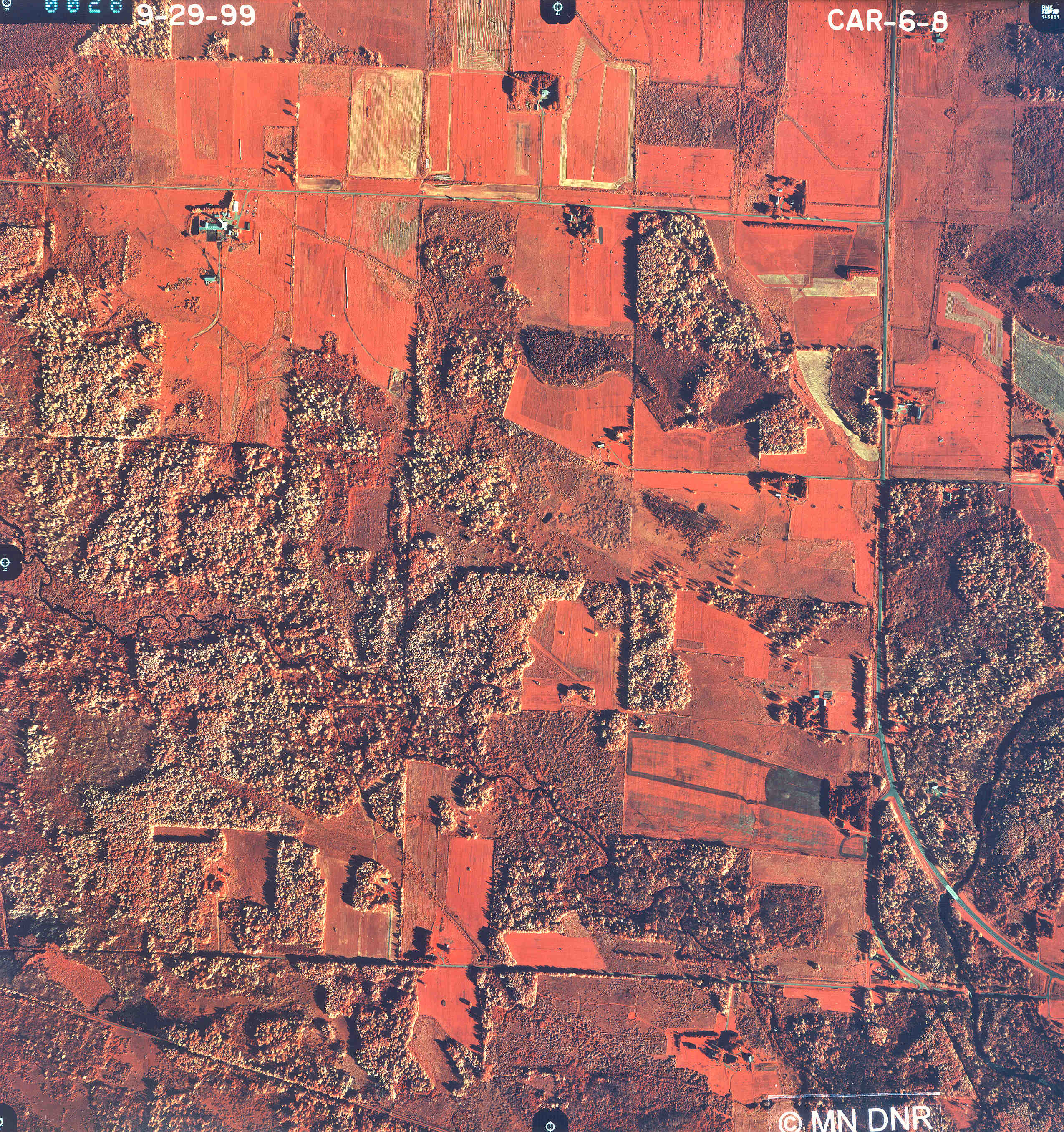

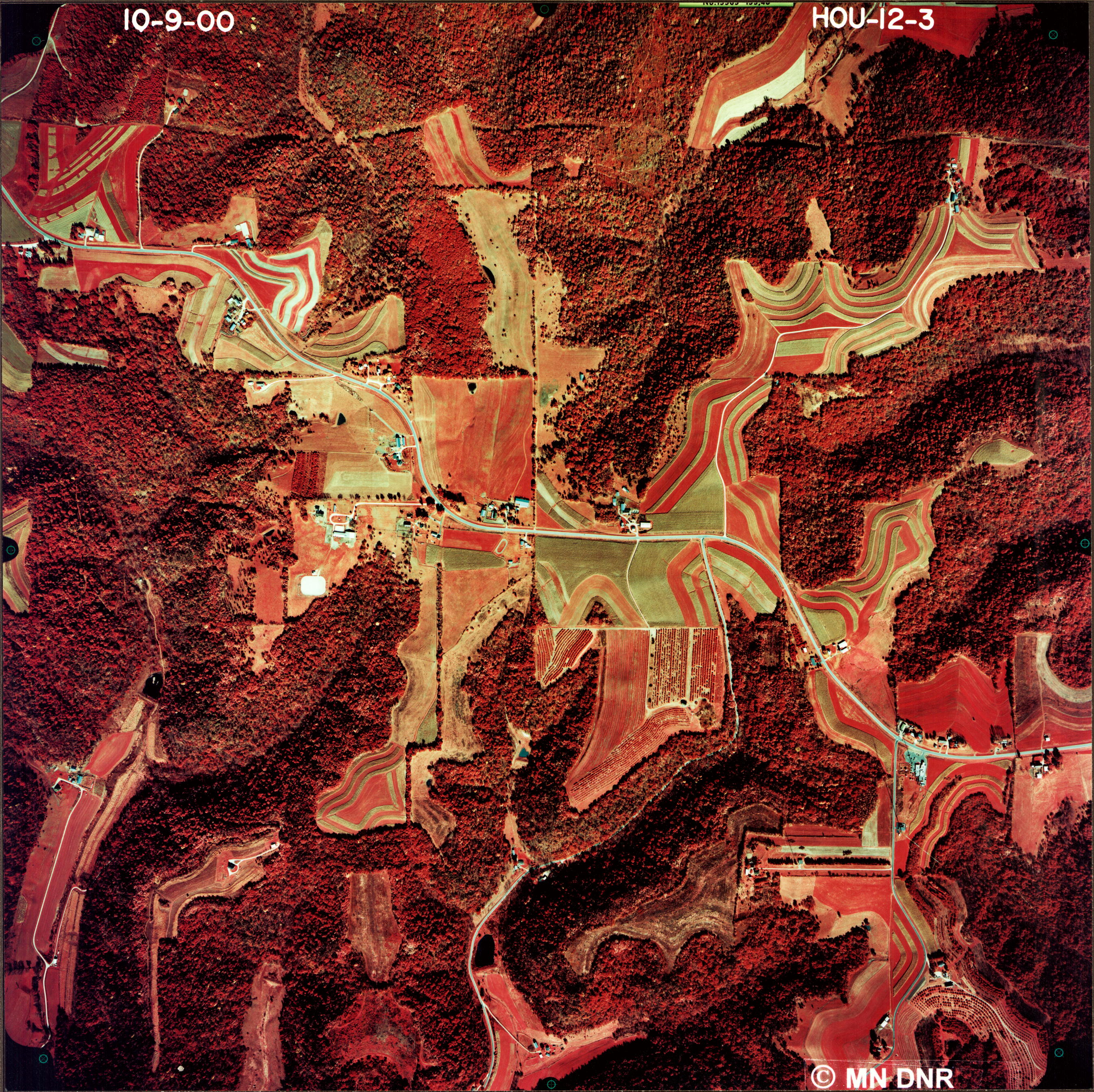
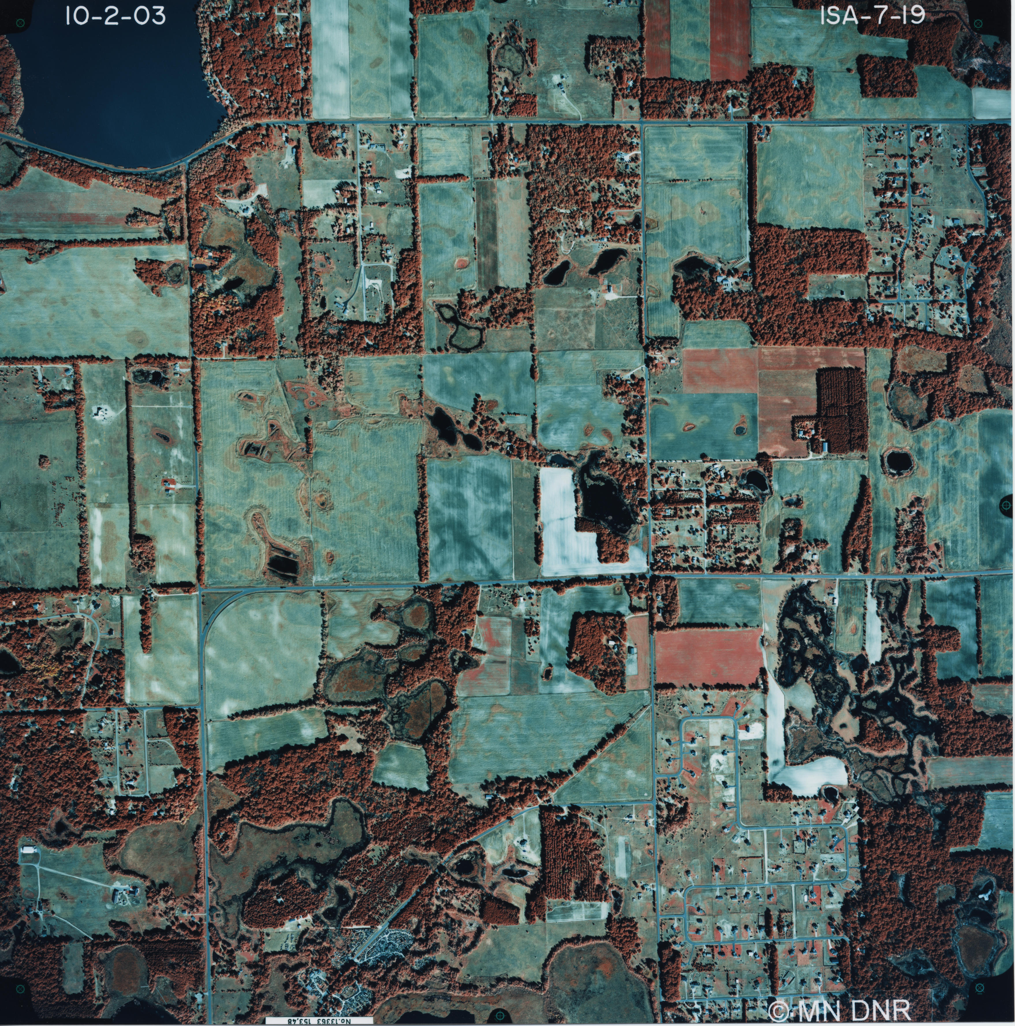

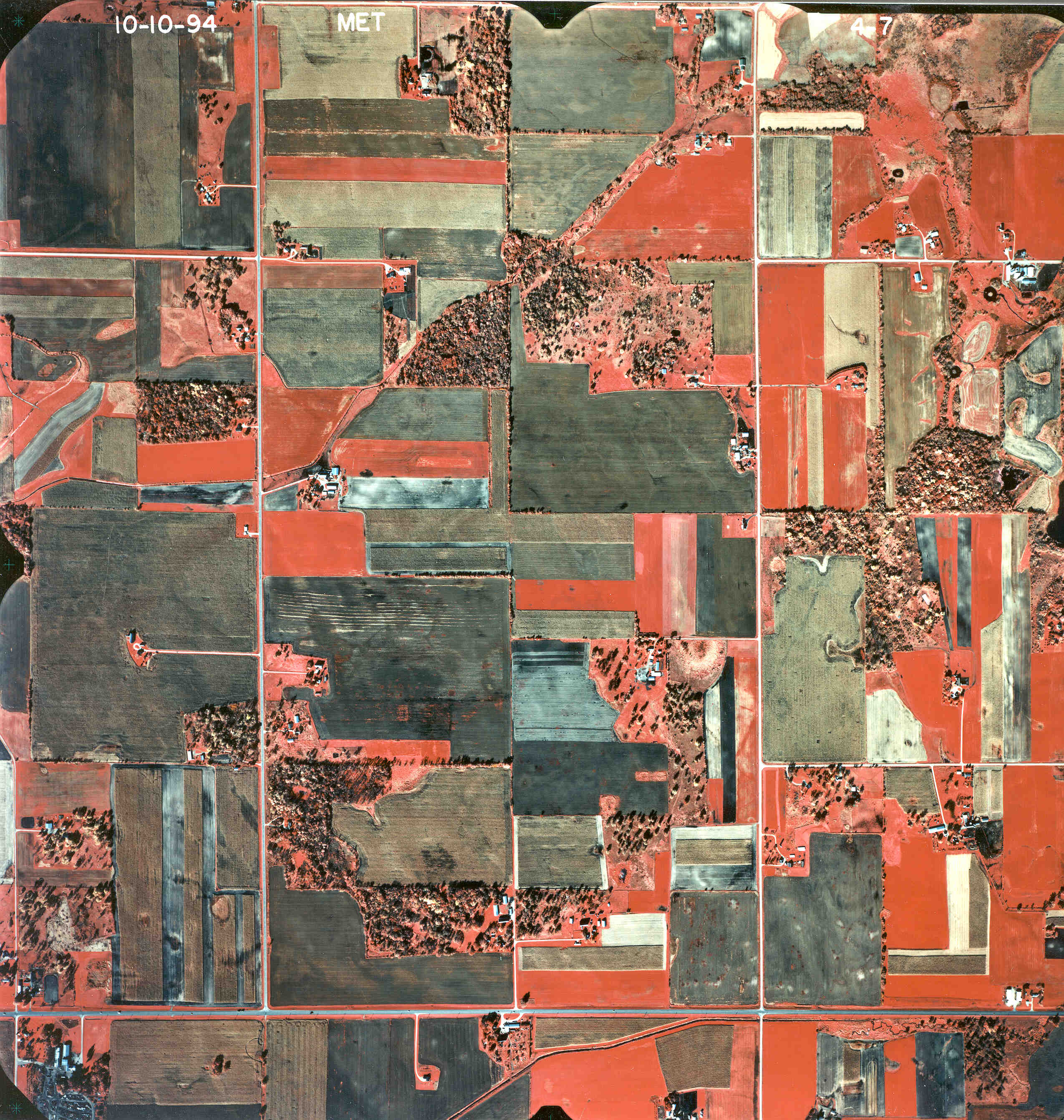

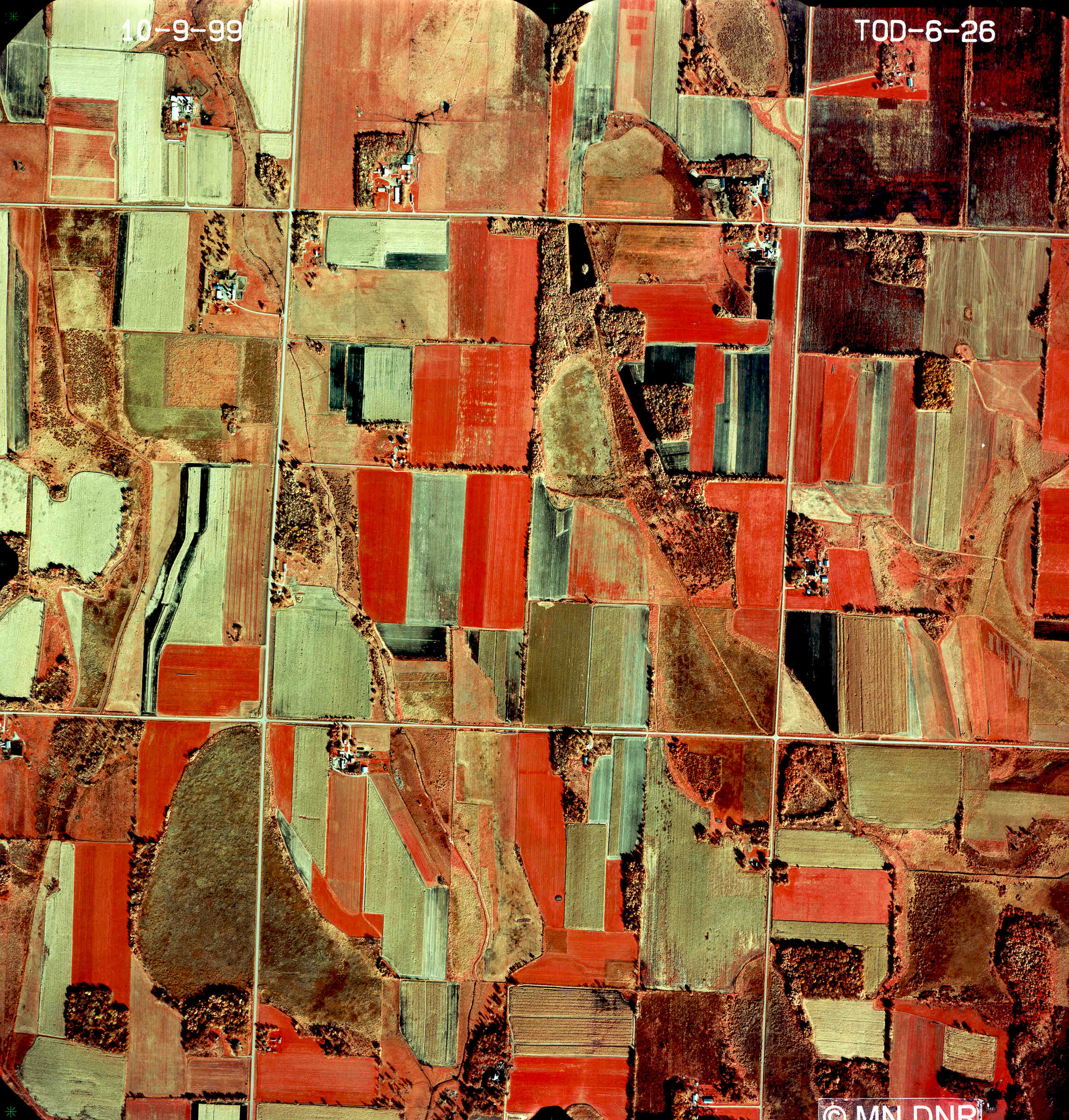

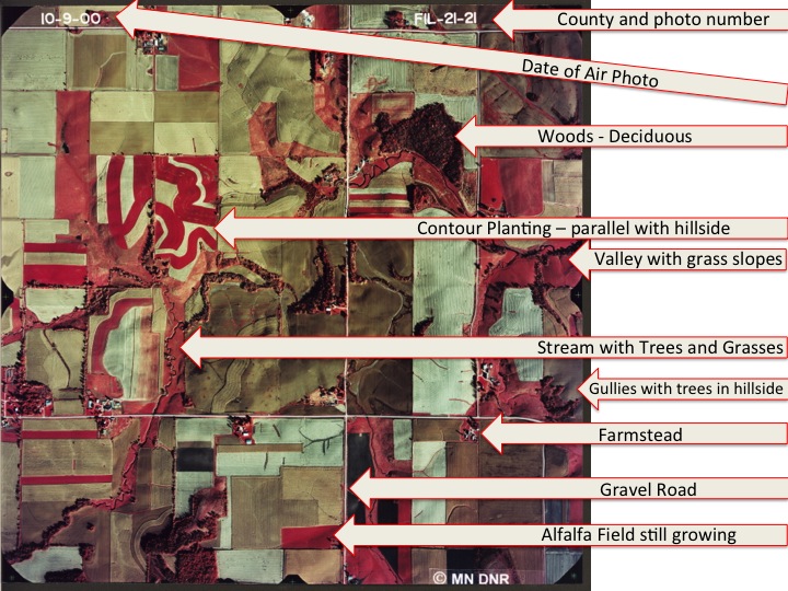
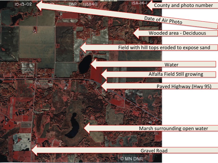
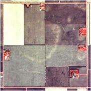
Links: How to interpret Air Photos for the Minnesota Agricultural Exercise
These Air Photos are for the Minnesota Agricultural Exercise
Link:
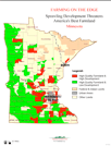
Minnesota Historic Farmsteads Study

Link:
Preserving Ag Landscapes
Link:
Historic Pipestone
Link:
MN Agriculture


Start at 20 minutes
Link: PDF
T & R Buying and Selling Land
Link: PDF
Prairie Path Lecture