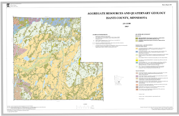
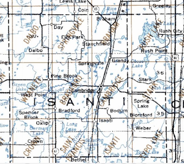
Isanti County Maps and Links
Resources for Minnesota Projects
Isanti County Maps and Links
Resources for Minnesota Projects


ANOKA SAND PLAIN
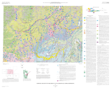
CHISAGO COUNTY
MORA AREA
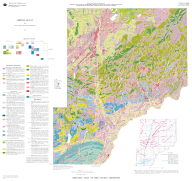
PINE COUNTY
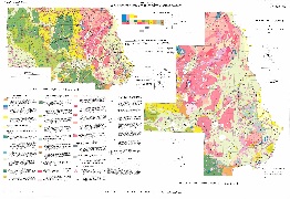
STEARNS COUNTY
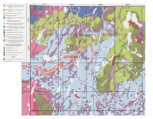
ADJACENT COUNTY INFORMATION - SURFACE AND BEDROCK GEOLOGY
These maps are from the Minnesota Geological Survey website.
Other supporting maps are also found on their website and the Minnesota DNR website.
MINNESOTA AT A GLANCE
EACH BELOW IS A FOUR PAGE
PDF FILE
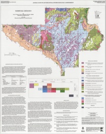
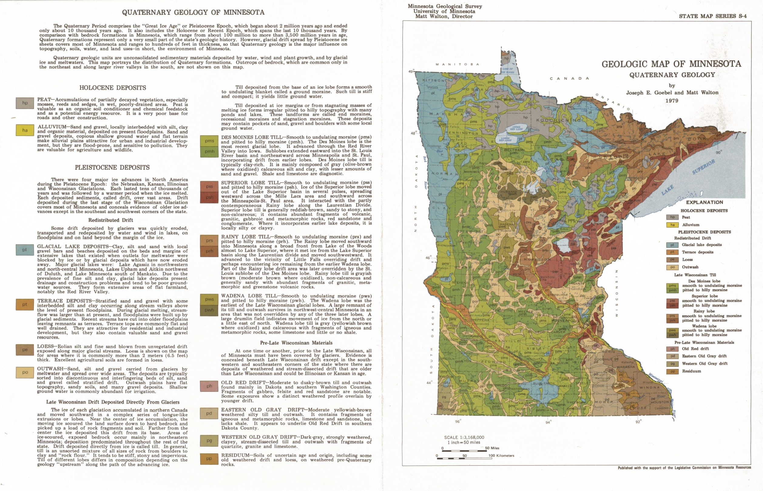
LARGE QUATERNARY MAP OF MINNESOTA
(MAP IS A 3’ X 5’ WALL MAP)
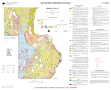
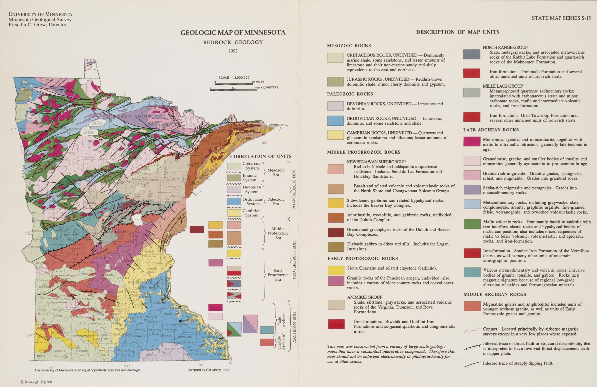
SMALL BEDROCK GEOLOGY MAP
SMALL QUATERNARY MAP
ADDITIONAL STATE AND REGION SUPPORT INFORMATION MAPS

Click on the color box for a PDF of a 1:24,000 Topographic Map of that area


MINNESOTA AT A GLANCE
LINK TO MORE
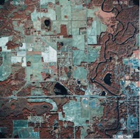
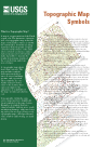
ISANTI TOPOGRAPHIC MAPS - STATEWIDE TOPOGRAPHIC MAPS


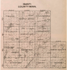
Isanti County 1916 Platt Map
After opening link -
Click on Township to enlarge details

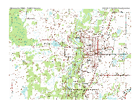
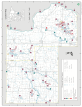
Isanti County Modern Road Map
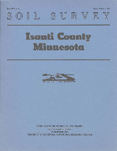
Isanti County Soil Survey
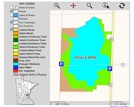
Isanti County Wildlife Management Areas

Isanti County Parks
Isanti County Boat Access
and Road Map


Link
Minnesota Mapping